Landowner resource

Solar site criteria and how the process works.

A practical guide to the early questions used to screen community solar, utility-scale solar, and agrivoltaic opportunities.

Request a free site analysis
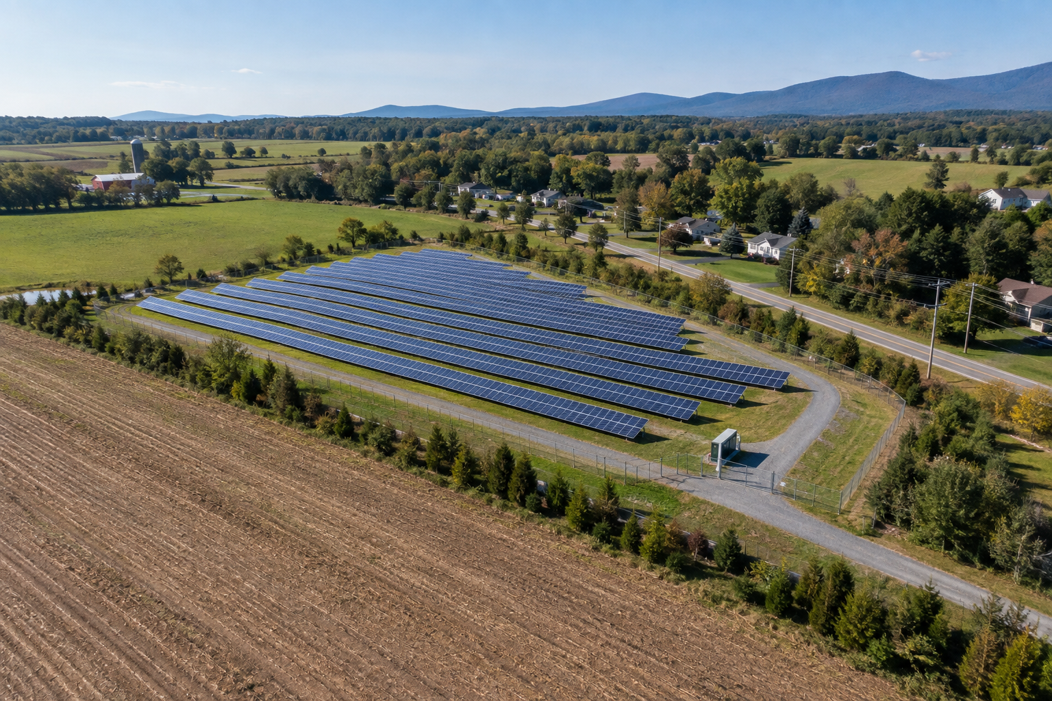
Illustrative community solar project beside farmland and a nearby community
01

Community solar

Community solar generally serves multiple subscribers through a shared project. Acreage, project size, utility program rules, distribution-grid proximity, interconnection availability, zoning, and local approvals all matter.

  • Distribution-level connection often relevant
  • Program and utility rules vary
  • Usable acreage and access required
Illustrative image—not an approved or completed DFREL project.
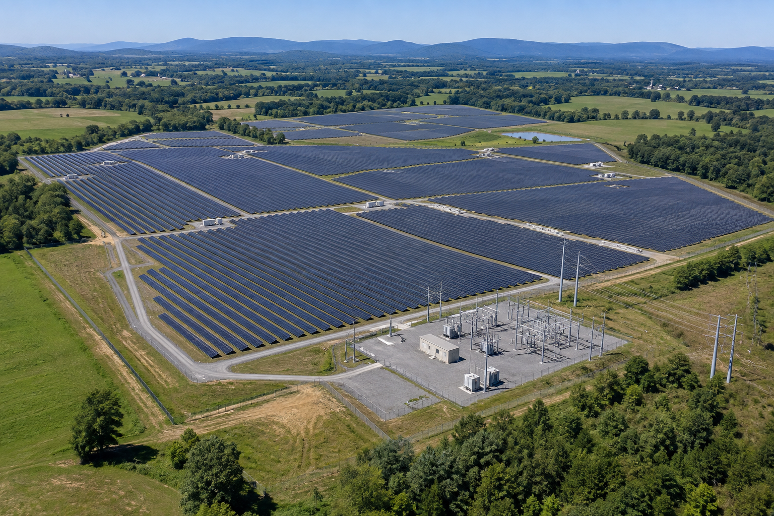
Illustrative large utility-scale solar farm with project substation and transmission infrastructure
02

Utility-scale solar

Larger projects typically require substantially more contiguous usable land and a feasible transmission or high-capacity grid connection. Development can take several years and depends on studies, permits, financing, and interconnection.

  • Larger land area
  • Transmission or high-capacity interconnection
  • Long development timeline
Illustrative image—not an approved or completed DFREL project.
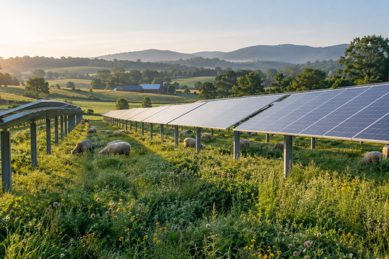
Illustrative agrivoltaics project with sheep grazing beneath elevated solar panels
03

Agrivoltaics

Agrivoltaics pairs solar generation with compatible agricultural activity. The agricultural plan, panel height and spacing, equipment access, soils, water, crop or livestock needs, and project economics must be designed together.

  • Dual-use land strategy
  • Site-specific agricultural plan
  • Specialized design and operations
Illustrative image—not an approved or completed DFREL project.
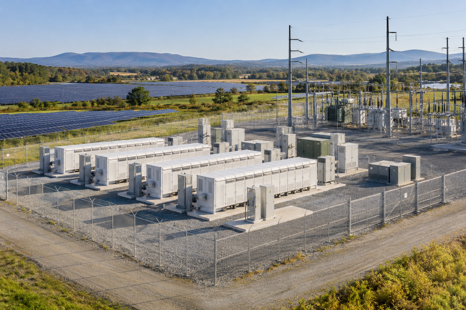
Illustrative battery energy storage system beside solar and electrical infrastructure
04

Storage and supporting infrastructure

Battery storage, substations, collection lines, access roads, laydown areas, and easements may require additional land, setbacks, fire-safety review, utility coordination, and local approval.

  • Safety and setback requirements
  • Road and emergency access
  • Utility and permitting coordination
Illustrative image—not an approved or completed DFREL project.

The screening sequence

From desktop review to a development decision.

  1. 01

    Desktop screening

    Review parcel boundaries, ownership, acreage, land cover, terrain, access, zoning, mapped constraints, and visible grid infrastructure.

  2. 02

    Owner conversation

    Confirm goals, current land use, known easements, title issues, structures, agricultural needs, and willingness to consider a project.

  3. 03

    Site visit and deeper diligence

    Observe actual conditions and determine which survey, environmental, engineering, title, utility, or permitting questions require specialist review.

  4. 04

    Developer and utility evaluation

    A qualified project team determines technical, commercial, interconnection, permitting, financing, and construction feasibility.

Start with your property

Let DFREL complete the first screen.

Submit the property address, acreage, known zoning, terrain, land cover, access, and nearby electrical infrastructure.

Request free site analysis